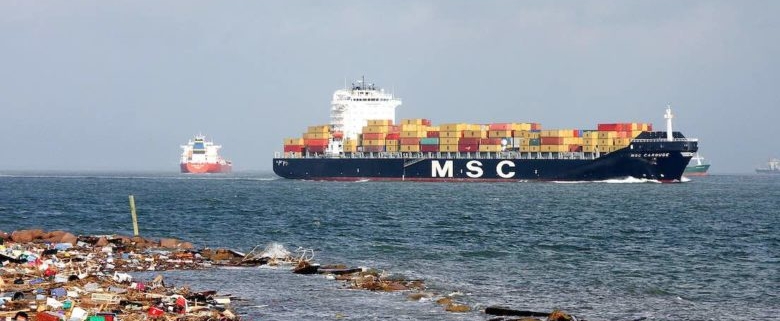
Pollution mapping app goes live
The industry-backed Eyesea pollution mapping initiative has gone live following six months of testing onboard commercial ships, recreational boats, and with community volunteers. The Eyesea app is now available on Google Play and in the Apple App stores.
The pollution mapping initiative collects and processes oceanic pollution data, now via the click of a smartphone.
The data is used to build detailed maps and charts available free of charge to governments, clean-up groups, researchers, local authorities and a range of other stakeholders, enabling them to take targeted clean-up action and make evidence-based policy decisions.
Graeme Somerville-Ryan, cofounder of Eyesea, commented: “It’s been quite a voyage over the last six months. Over this time we have received overwhelming support from maritime companies, seafarers, and recreational sailors who see what is going on and who want to help. Our member company fleet continues to grow we are looking at partnerships with yachting and superyacht associations, yacht clubs, tech providers, crew associations, and international clean-up NGOs. The feedback we have received from seafarers and coastal volunteers has been humbling – they all want the same thing and have given us enormous support testing the app.”


